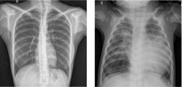
The authors test various machine learning models to improve the accuracy and efficiency of pneumonia diagnosis from X-ray images.
Read More...Convolutional neural network-based analysis of pediatric chest X-ray images for pneumonia detection
The authors test various machine learning models to improve the accuracy and efficiency of pneumonia diagnosis from X-ray images.
Read More...Groundwater prediction using artificial intelligence: Case study for Texas aquifers
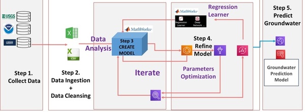
Here, in an effort to develop a model to predict future groundwater levels, the authors tested a tree-based automated artificial intelligence (AI) model against other methods. Through their analysis they found that groundwater levels in Texas aquifers are down significantly, and found that tree-based AI models most accurately predicted future levels.
Read More...Using machine learning to detect outliers of red clump stars
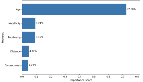
Machine learning offers a powerful way to analyze large astronomical datasets and identify stars with unusual properties. In this study, students used Extreme Gradient Boosting and Isolation Forest models to investigate why some red clump stars deviate from their expected luminosities. Their results show that stellar age plays a much stronger role than metallicity in driving luminosity variation, and the models successfully detected outlier stars that may affect distance measurements in galactic studies.
Read More...Multi-omic analysis identifies mitochondrial dysfunction as a key feature of hypertrophic cardiomyopathy
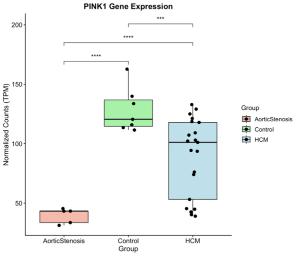
This study used multi-omic analysis to investigate gene expression and DNA methylation patterns associated with hypertrophic cardiomyopathy (HCM). The researchers found significant downregulation of mitochondrial and energy-related pathways, highlighting mitochondrial dysfunction—particularly altered PINK1 expression—as a potential contributor and therapeutic target in HCM.
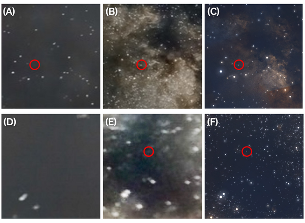
Read More...The impact of light pollution on astrophotography and visual astronomy in varying environments
Using satellite surface temperature data to monitor urban heat island
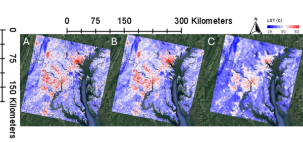
This manuscript investigates the urban heat island (UHI) effect by utilizing two satellite datasets: Landsat (high spatial resolution, lower temporal resolution) and MODIS (lower spatial resolution, high temporal resolution). The authors hypothesized that Landsat would provide better spatial detail, while MODIS would better capture temporal variations. Their analysis in the Washington D.C.–Baltimore region supports these hypotheses, demonstrating that Landsat offers finer spatial details, whereas MODIS provides more consistent seasonal patterns and better detects heatwave frequencies.
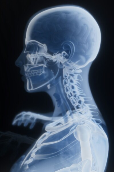
Read More...The effects of image manipulation on classification of cervical spondylosis X-ray images using deep learning
Evaluating the effectiveness of synthetic training data for day-ahead wind speed prediction in the Great Lakes
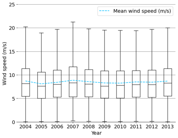
The authors looked at the feasibility to predict wind speeds that will have less reliance on using historical data.
Read More...Predicting clogs in water pipelines using sound sensors and machine learning linear regression
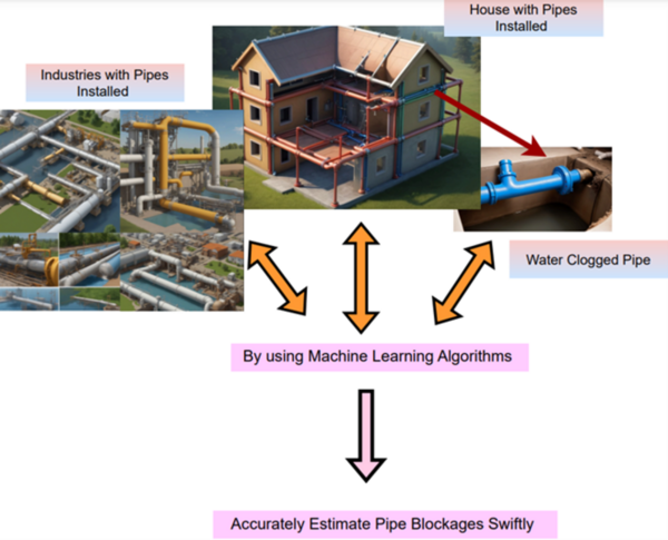
The authors looked the ability of sound sensors to predict clogged pipes when the sound intensity data is run through a machine learning algorithm.
Read More...Investigating the impact of the COVID-19 pandemic on the cognitive dissonance of adolescents
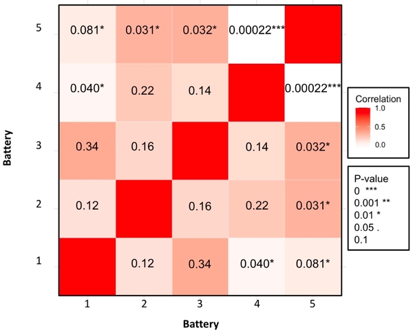
The authors survey adolescents about aspects of the COVID-19 pandemic to explore perspectives that may give rise to cognitive dissonance.
Read More...