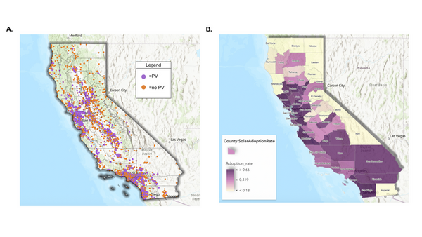
The authors investigated adoption rates of solar photovoltaic power at K-12 schools in California.
Read More...Mapping equity in California K-12 school solar adoption using computer vision
The authors investigated adoption rates of solar photovoltaic power at K-12 schools in California.
Read More...Using two-step machine learning to predict harmful algal bloom risk
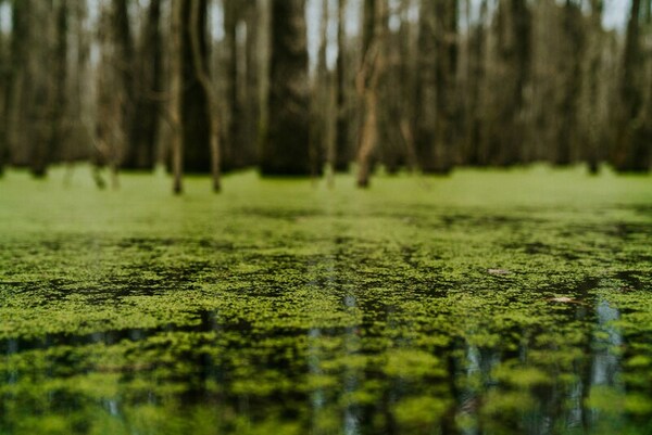
Using machine learning to predict the risk of algae bloom
Read More...The association between hunting and the feeding and vigilance times of American bison in North Dakota and Montana
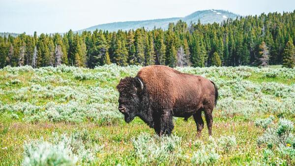
This study hypothesized that feeding times of bison in the hunted populations would be significantly shorter than that of bison in the nonhunted population and vigilance times would be significantly longer than that of bison in the nonhunted population. Notably, the results found significant differences in feeding and vigilance times of bison in the hunted and non-hunted populations. However, these differences did not support the original hypothesis; bison in hunted populations spent more time feeding and less time vigilant than bison in the non-hunted population. Future studies investigating the association between hunting and bison behaviors could use populations of bison that are hunted more frequently, which may provide different results.
Read More...Short-term effects of prescribed fires on riparian arthropods around wetlands in north central Florida
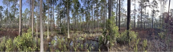
This study examined how prescribed fires affect arthropods in riparian zones surrounding wetlands in north-central Florida. Researchers found that spider abundance remained largely unchanged, while springtail abundance initially decreased but rebounded substantially one month after burning, suggesting early recovery of the riparian food web.
Read More...AeroPurify: Autonomous air filtration UAV using real-time 3-D Monte Carlo gradient search
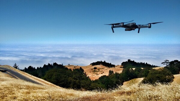
Here the authors present an autonomous drone air filtration system that uses a novel algorithm, the gradient ascent ML particle filter (GA/MLPF), to efficiently locate and mitigate outdoor air pollution. They demonstrate that their GA/MLPF algorithm is significantly more efficient than the conventional gradient ascent algorithm, reducing both the time and number of waypoints needed to find the source of pollution.
Read More...Effects of airport runoff pollution on water quality in bay area sites near San Francisco and Oakland airports
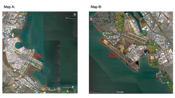
In this study, the authors sample water at different points closer and closer to two different airports to determine if these airports may be contributing to water pollution, specifically by measuring metals, nitrates, and pH.
Read More...Groundwater prediction using artificial intelligence: Case study for Texas aquifers
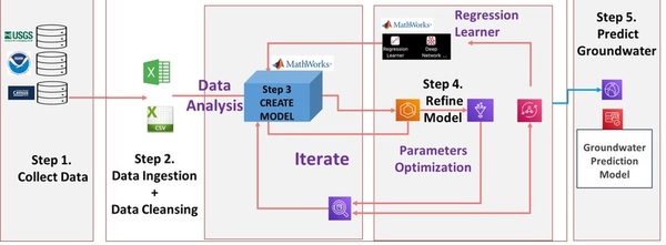
Here, in an effort to develop a model to predict future groundwater levels, the authors tested a tree-based automated artificial intelligence (AI) model against other methods. Through their analysis they found that groundwater levels in Texas aquifers are down significantly, and found that tree-based AI models most accurately predicted future levels.
Read More...COVID-19 and air pollution in New York City

Did the COVID-19 pandemic and travel restrictions improve air quality? The authors investigate this question in New York City using existing pollution data and forecasting trends.
Read More...Detergent pollutants decrease nutrient availability in soil
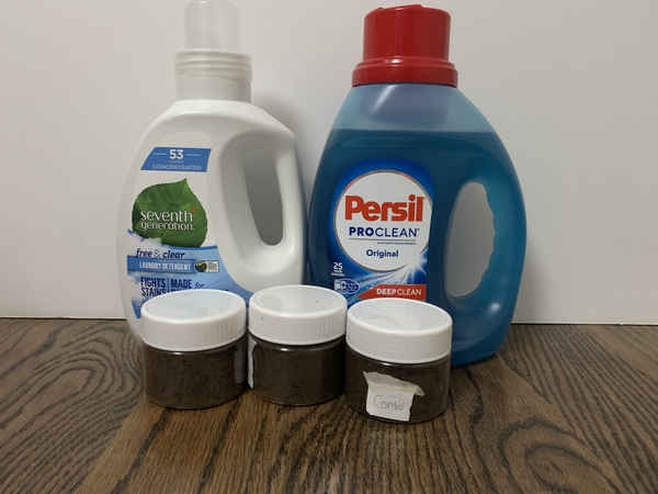
Household detergents have surfactants that can potentially harm the soil and broader ecosystems. In this study, the authors investigate whether eco-friendly and less-eco-friendly detergents affect soil pH, phosphorus, nitrogen, and potassium levels.
Read More...Using DNA Barcodes to Evaluate Ecosystem Health in the SWRCMS Reserve

Although the United States maintains millions of square kilometers of nature reserves to protect the biodiversity of the specimens living there, little is known about how confining these species within designated protected lands influences the genetic variation required for a healthy population. In this study, the authors sequenced genetic barcodes of insects from a recently established nature reserve, the Southwestern Riverside County Multi-Species Reserve (SWRCMSR), and a non-protected area, the Mt. San Jacinto College (MSJC) Menifee campus, to compare the genetic variation between the two populations. Their results demonstrated that the midge fly population from the SWRCMSR had fewer unique DNA barcode sequence changes than the MSJC population, indicating that the comparatively younger nature reserve's population had likely not yet established its own unique genetic drift changes.
Read More...